PM AWAS YOJANA

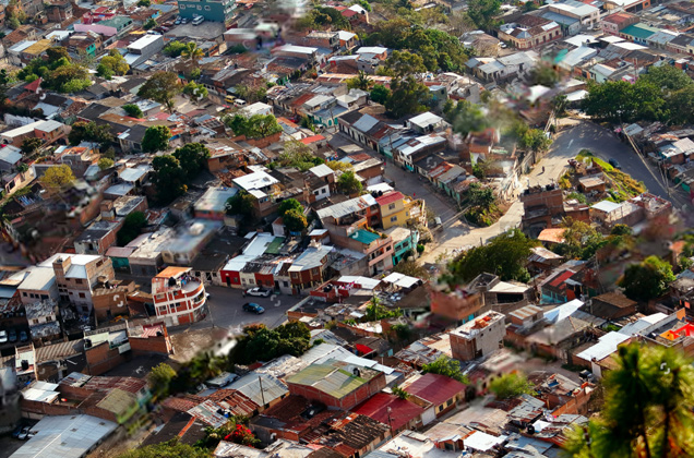
GIS Mapping of Slums and identification of beneficiaries with Basemap Preparation For Six Corporations.

Project Highlights

  • Undertaken DGPS and GPS Asset survey
  • Fixed the Ground Control Points
  • Completed the Georeferencing of satellite images
  • Developed a webGIS platform for data visualisation and analysis
  • Overlayed the data of slums