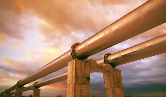
Water Utility
Online GIS is of great value in terms of planning, managing, and maintenance of utility infrastructures such as water resources and services. Efficient and smart use of high-quality spatial data becomes imperative in a competitive economy for many electrical, gas and water utilities. Locating facilities, tracking jobs, planning operations in utilities relies on having all of the data accessible online and open for collaboration between managers, field crews, local governments, and citizens.
Water and wastewater utilities keep track of distribution, collection, and drainage networks as well as related planning and customer care. A location-based approach to managing the governing body helps in meeting operational challenges.
GIS provides a common platform for accessing all the data, updating network information, integrating work orders, finding consumer information, or preparing a report. With built-in spatial analysis tools, GIS supports network tracing as well as analyzes development trends affecting future demand. Visualization and mapping features give an overall, connected view of the network in relation to consumers and surrounding infrastructure.
The way of enabling the positional accuracy by implementing the quintessential technology of DGPS followed by Ground Penetrating Radar for identifying subsurface assets, with a detailed map and high-quality drone image improves the quality in decision making for the authorities. Integration with Hydraulic/Hydrologic Modeling will help in investigating how networks operate, for planning and designing improvements to water infrastructure systems, and for predicting the impact on the system if new consumers are added. Also, Drinking-Water Source Analysis, Water Usage Demand Allocation, Establishing Facility Elevations, Integration with Customer Information System, Integration with Asset Management, etc will improve the flow of operation in the respective departments.